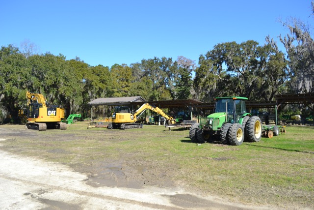
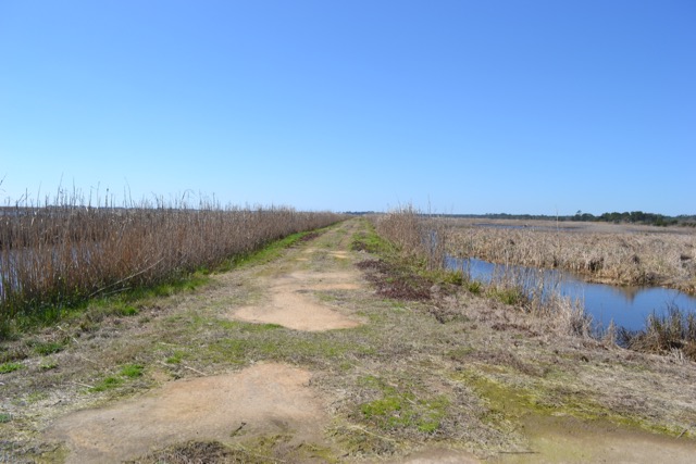
The entrance to the Cape Trail at Santee Coastal Reserve passed through an area of machines: tractors, a trackhoe, trucks, boats, and a trunk (water control structure) waiting to be installed. The path ahead would travel over miles of dikes. These machines have allowed SCDNR staff to mow, repair and maintain those miles of banks.
Back in the eighteenth and nineteenth centuries, the enslaved work force built, repaired, and maintained these banks with hand tools, labor hard to comprehend.
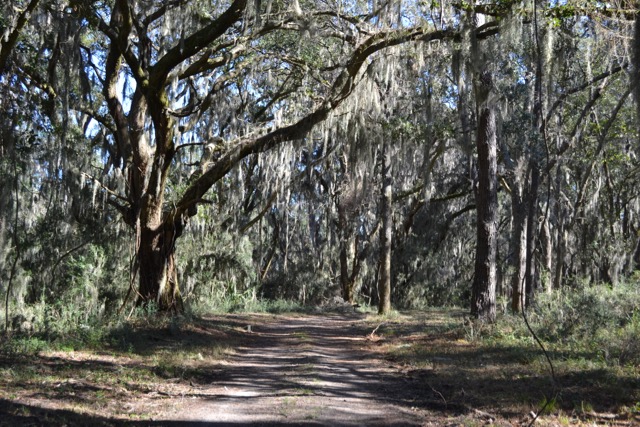
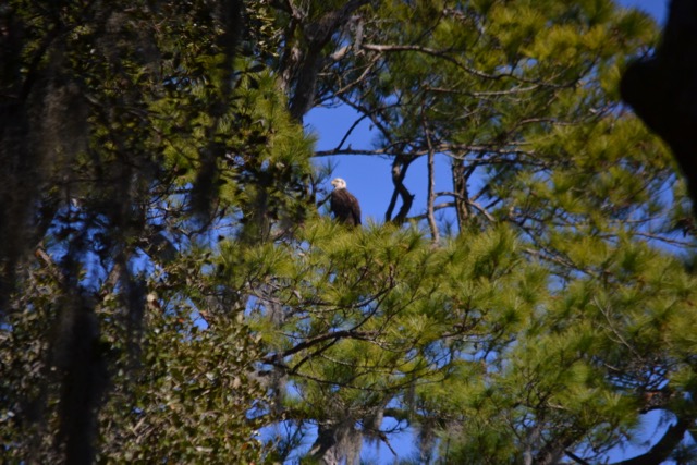
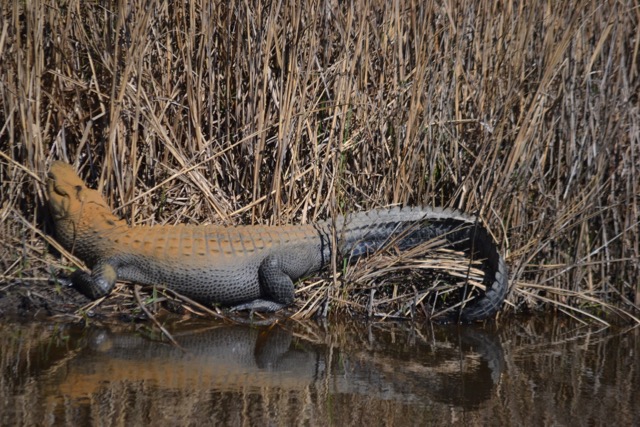
The trail continued through the maritime forest. Overhead, a bald eagle flew just over the tree line and landed in a tall pine. Other wildlife soon followed: an alligator basking out of the wind and in the sun along a canal, and a snake bird (anhinga) flying over the old rice fields. Many other birds would follow in the sky, in the canals and impoundments, and across the dikes. Eagles soaring, cranes and herons beating over the impoundments, coots swimming and walking on the banks – there was lots of action in the avian world. It has been common to see bald eagles on the Cape Trail. This observation is clearly a result of the quadrupling of the bald eagle population in the lower 48 states in the past dozen years. They were almost lost to extinction, and we can never take their presence for granted.
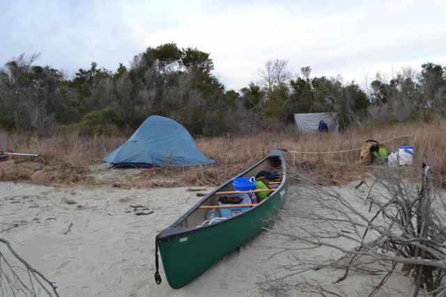
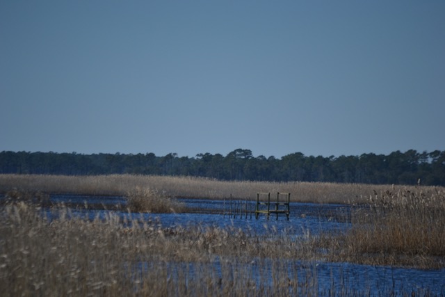
The path headed to the southeast, and views into the distance revealed the tree lines on Murphy and Cedar Islands. Those barrier isles are also part of the Santee Coastal Reserve, and are separated from the mainland by the Intracoastal Waterway. Arriving at the ICW, machines just across the water indicated the mechanization of work there. This proximity was deceptive, since these places are distant, and I learned of that physical distance during several trips to those islands in the past, requiring miles of paddling and sailing.
Murphy Island 2014 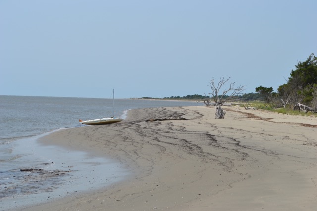
Cedar Island 2011
Walking over the Cape banks took me through an expansive world: miles of dikes and canals, and impoundments stretching out in a grid. The Cape Trail designated loop is around five miles, but the many banks allow for multiple extended paths. The SCR Trail Map lays out the options throughout the reserve.
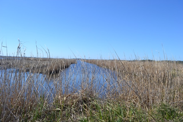
The world out on these dikes was most hospitable, occurring in a window of time conducive for the visit. This area closes during the migratory waterfowl season, which ended February 8. Allowed visitation would occur until November 1, but another factor would create a powerful impediment – the presence of biting insects. I recalled visiting with my son Eliot to ride the Cape Trail on bikes, and as we slowed to park a horde of deer flies bounced off the vehicle’s rear window. On another occasion, Bill Mace, a former manager of SCR, had been mowing out near the ICW when his tractor slid down a dike’s side and became stuck. In the days before cell phones, and without a two-way radio, he was forced to walk back through clouds of insects, and without necessary protection. When he ran this gauntlet for several miles and arrived where some adolescents were fishing in a canal, they took one look at this bloody man and ran. The first manager of SCR, Tommy Strange, said it best, “Visitation at Santee Coastal Reserve is self-limiting.”
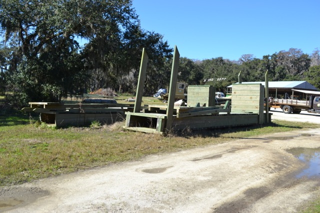
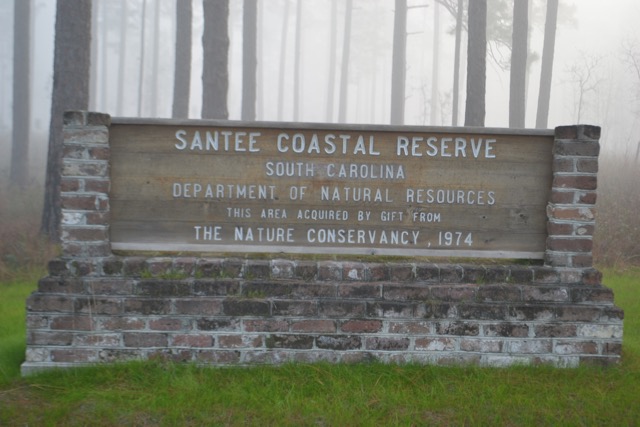
The framework of a duck blind stood in one of the impoundments, and was a reminder of the past ownerships of these lands by the Santee Gun Club. This hunt club planted the former rice fields with foods conducive for ducks. In fact, SCR still has limited waterfowl hunts during the season. The history of the Santee Gun Club’s formation, and eventual transfer of these lands to The Nature Conservancy and then to the state of South Carolina in 1974, remains one of the great conservation stories in our state.
🙂 Alaway a nice walk ..good timing too..not yet deer fly/horse fly/mosquito time :).g
Just no-seeums around now, and a good wind will carry them off rather than us.
Bob,
Nice adventure walk and so glad to see such pristine land reserved for future enjoyment.
P.S.
When is the new book coming out?
Heh Ron good question about the book – my estimate will be early fall. We’ll see, and I will announce.