We approached Cape Island from the sound, motoring up to the pier at Cowpen Point. Dropping off people and gear, we ran northeast to the backside of the island’s northern end for disembarking, and hauling more gear across to our staging point.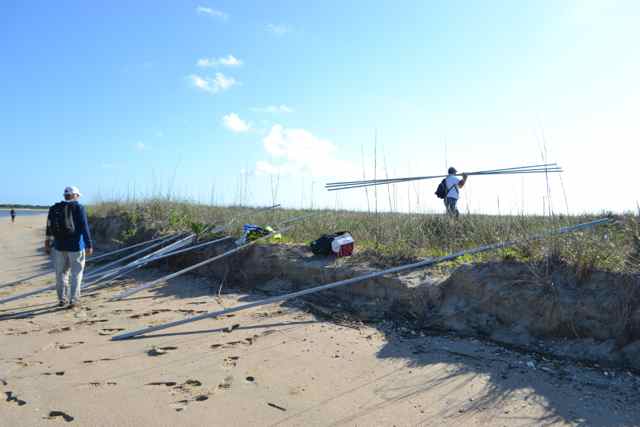 All was familiar: the places known from the past ten years, the camaraderie with fellow volunteers and USFWS staff, and the excitement of initiating another loggerhead nesting season. What would this season bring, following a historic nesting year – a total of 1,930 nests – in Cape Romain National Wildlife Refuge?
The day’s objective was to begin the building of hatcheries. The dunes on this part of the island provided an elevation to prevent over-washing and subsequent destruction of eggs.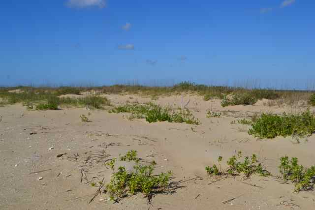
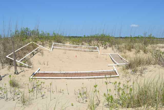
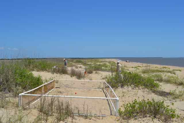 We began the laborious process of assembling the hatchery sides constructed from PVC pipe and wire mesh into square and rectangular hatcheries. We had a large crew sharing a commitment to the program.
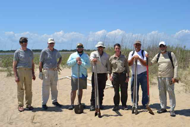
Conditions could not have been better for the work. A slowly rising sea breeze cooled us, and high pressure brought clear views to Murphy and Cedar Islands to the east. We treaded lightly around a pair of oystercatchers, and with the orchestration of Refuge manager Sarah Dawsey we avoided working in the proximity of their nest. 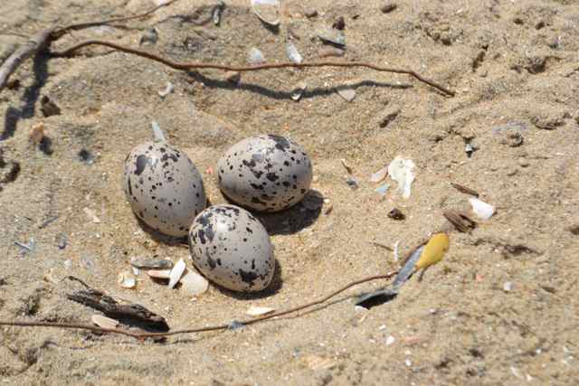 No loggerheads were seen during our lunch along the strand, though we shared reports of sightings in the sounds and creeks of the Refuge. At mid-afternoon we packed up for our long transport back to the mainland.
* * * * *
I returned to the boats via a trailer towed by an ATV, heading southwest on the island’s beach before crossing to the Cowpen Point pier. I was only partially prepared for the island’s degradation after another year of the ocean’s assault. This process accelerated starting in 2011 (see Flattening of an island). Refuge biologist Ford Mauney had earlier informed me of the continued decline: there was no longer any viable nesting area on South Cape Island, and there was a continued flattening of Lighthouse Island. As we sped down the beach the dunes petered away quickly, and this long section of beach was added to the miles of non-viable nesting territory.
As we approached the area of the island’s past impoundment, long ago breached, the flatness of the beach seemed vulnerable for a complete island breach, and potential division of the island again.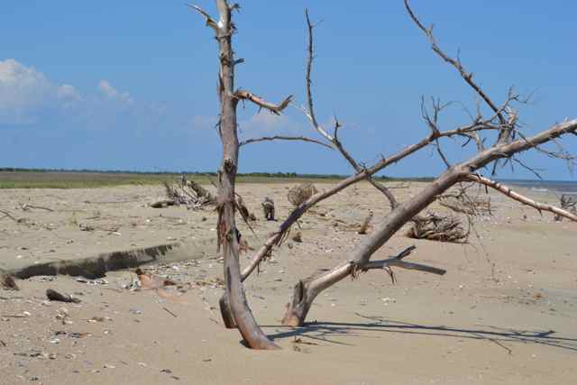 The small maritime forest dominating by pines in the island’s center was now spilling into the surf. We followed the ATV trail through these woods until we perched on an ancient dune with a prospect to the southwest. The breach that divided North and South Cape Island was no longer a waterway, but appeared more like a small bay, eating away at the sands from both ends.
These sights were disturbing, and seemed to represent the real consequences of climate change and sea level rise. This perspective raised a number of questions. What would the status of this section of the Refuge look like at various points in the future? Since a third of the state’s loggerhead population nested here (CRNWR), what would be the impact on this endangered species? How would the loggerhead program in the Refuge respond to these challenges, and future ones? These questions lingered in the air, intermingled with the promise of nesting loggerheads in the coming weeks.
Donation sent in your Honor Bob!
Thanks Ron!
We saw the island while boating on Saturday… big changes! g