Raynor On The Coast

A bridge too far

Rutledge Road was the last leg of the journey to the kayak launch. After Hampton Plantation, the road passed through the Germantown community before changing to dirt, and traversing Francis Marion National Forest and White Oak Forestry. Entering the swamp, I crossed the bridge over Wambaw Creek, and prepared for launching at the small landing. 

As I paddled out, I chatted with a bicyclist crossing the bridge. Entering the quiet of the setting, my wake hissed excessively – it wouldn’t do. Unwilling to suffer this noise through a long paddle, and without a yogi’s flexibility to reach the stern, I returned to shallow water to slip out of the boat and remove the culprit – the red flag marking the end of the kayak on the road. Off again, and without creating a sonic disturbance, I merged into the swamp’s serenity. 

This kayak trip had some firsts. First trip away from my neighborhood Cape Romain paddles. First time into the Santee Delta. First time taking along and using my camera (not iPhone). 

Removing the stern drag opened up the sonic world, enlivened with bird sound, the splashes of turtles dropping off branches hanging over the water, and the take-offs of mallards skittering across the surface. The slowly outflowing waters brought me to the first stands of giant cutgrass, an aquatic plant growing along the bank that would dominate further down the creek. The reflection of fall foliage shone on the smooth surface. Scattered drops of rain dimpled those waters by the high ground of Wambaw Plantation on the east bank, though were seen and not felt. The day was warm, the temperature rising to 80 degrees. 

The creek soon split, one branch flowing nearly straight out to the South Santee River. The branch to the east divided the mainland from Hampton Island; the waterway is known now as Hampton Creek but by indigenous peoples as Wahaw. I headed straight, and passing the bank of Hampton Island an alligator swam out and submerged. The outgoing tide was stronger here, and would continue to build on entering the South Santee River.

My son Eliot and I had circumnavigated Hampton Island by canoe in 2012 (see Circling Hampton Island), but had circled counterclockwise – I would make the opposite rotation. We had timed the tides correctly in 2012, but on this day I would enjoy the flow downriver, but paddle against it on the return. I hugged Hampton Island initially, and then crossed over the placid river to the far bank, the island formerly known as Commander Island (see Santee Island drop-off). The bank on this side of the river was solidly lined with giant cutgrass, and I paddled in to take a closer look at a derelict dock and building behind it. 

The faster current became more apparent, and I turned at one point to try out paddling against the flow. I took a peek into a creek/canal reaching into the island. I would see many of these little inlets into this and other islands – inviting places to explore. 

A break in the cutgrass came with the niche occupied by a stately cypress, heavily bearded with Spanish moss and anchored with many knees. It stood in relief to the surrounding wetlands.

I paddled back across the river to maintain a course close to Hampton Island so as not to miss the entrance to Hampton Creek, my homeward bound path. I recalled on the 2012 trip a sharply leaning cypress at the mouth, and one came into view. This creek was narrower than I remembered, and I was happy to find it. But a goal for this trip was to find the entrance to another creek on the other side of the river. I did not have a paper chart, only an idea in my head from viewing an online map.

Hampton Creek mouth, 2012

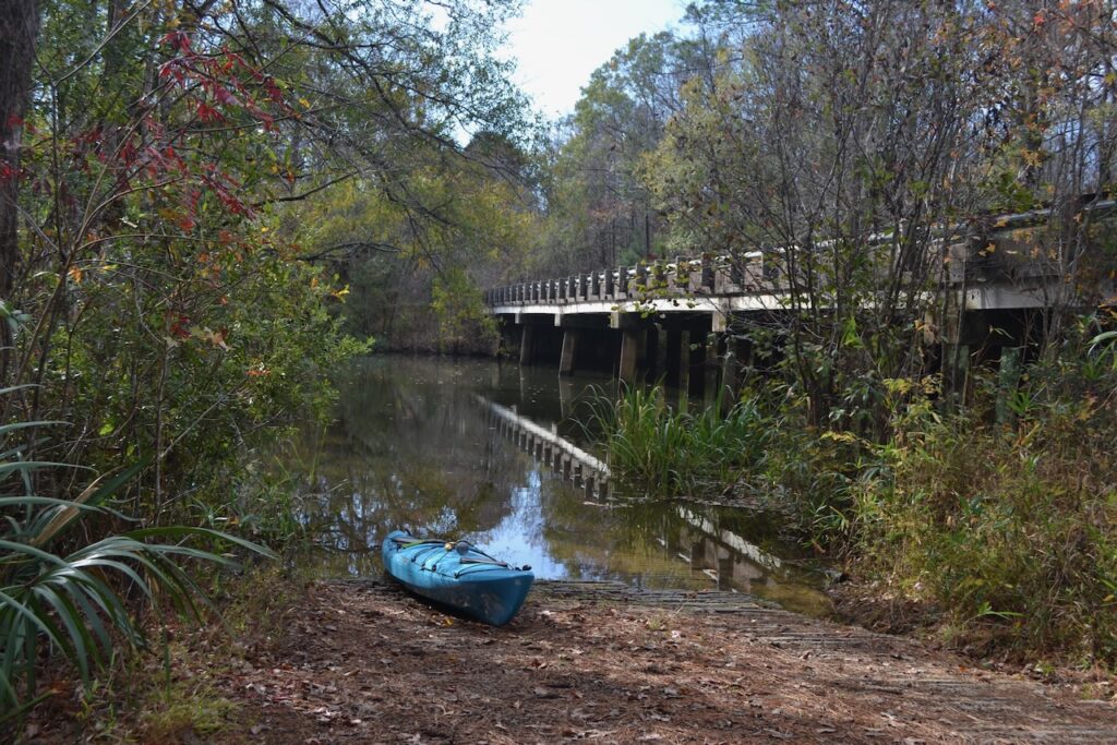
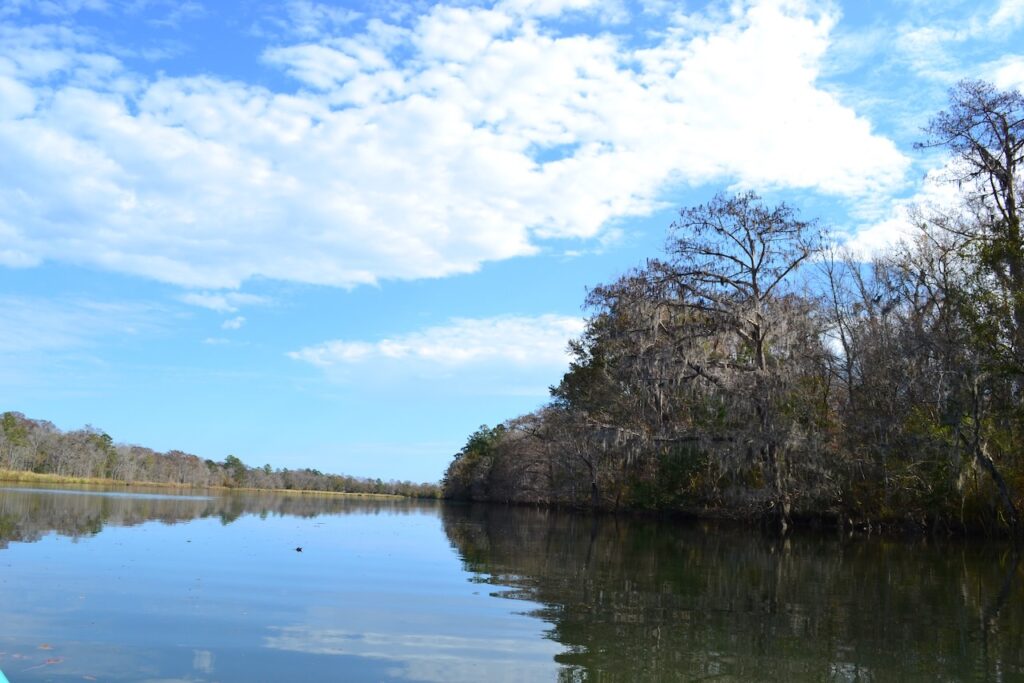
I started into the creek, but stopped and turned downriver instead. It was still early in the day, and my previous trips had built up confidence in my paddling endurance and range. I maintained a course along the mainland to stay out of the main flow, and continued a steady vigil across the river. The waterway’s entrance I sought was Push and Go Creek, a native creek forming the east boundary of Commander Island. Ferrymen poled their craft  to carry passengers from one side of the Santee Delta to the other in the eighteenth century. 

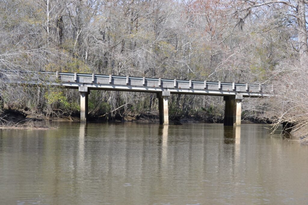
The other side of the river was a solid wall of giant cutgrass, and I could find no opening. In the distance an upland marked by tall pines stretched across the Santee Delta, and several times I thought I saw large birds speeding along. As I continued on, those birds actually were cars, crossing over the Delta’s raised causeway on Highway 17. After a curve in the river to the south, the South Santee River bridge came into view, and I realized it was a bridge too far – I had not found the waterway I sought. I reluctantly turned, and started the long paddle back against the river’s current and outgoing tide, an uphill battle. I hugged the bank, and got into the rhythm of paddling and going forward against the flow. Another alligator came out of the grass and on recognizing my presence submerged, creating a moving swell of the water’s surface.

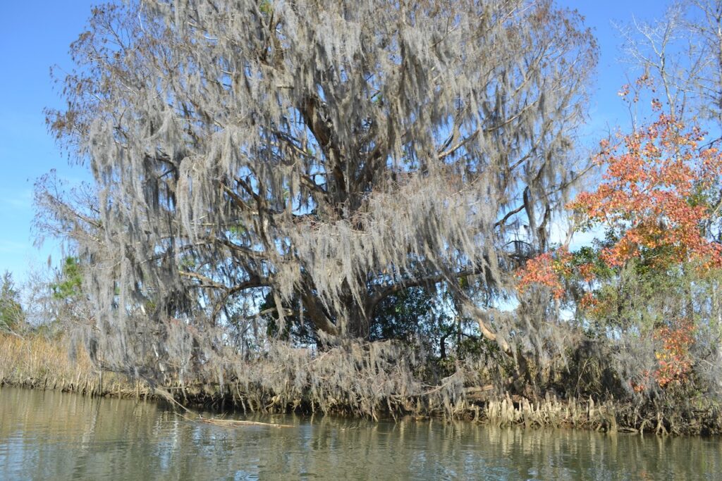
Along the way I looked over to the far bank and noticed a diagonal entrance to a creek, hidden due to the grasses and the angle. The adventure of exploring that waterway, a possible passage to the North Santee River if it still remained open, would have to wait for another day. I added an entry in my mental map, and continued on to the telltale cypress and waterway entrance. 

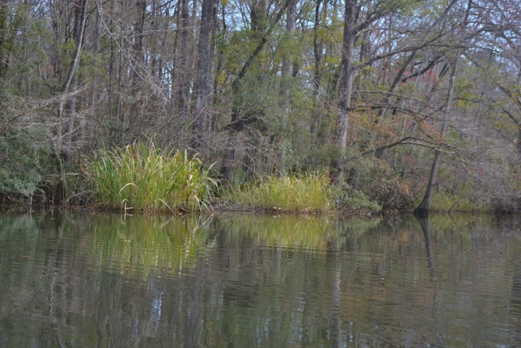
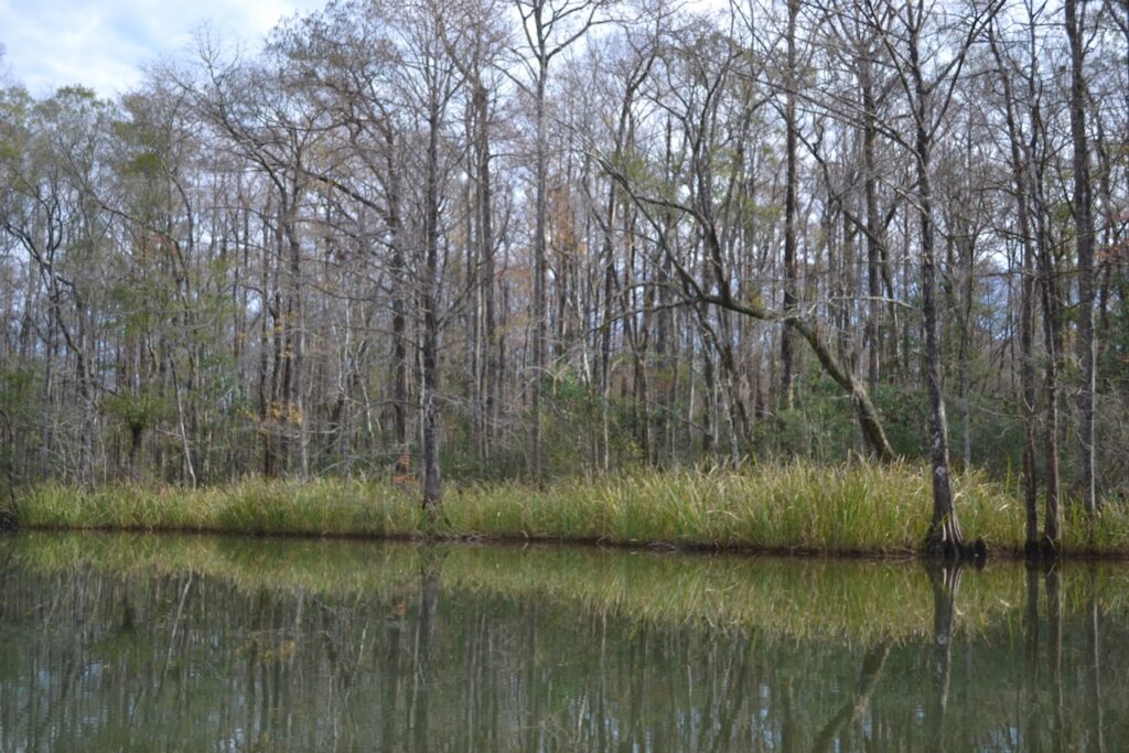
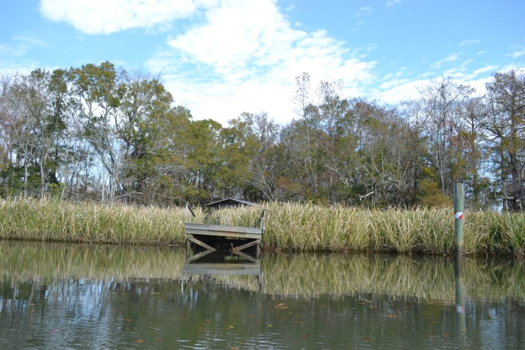
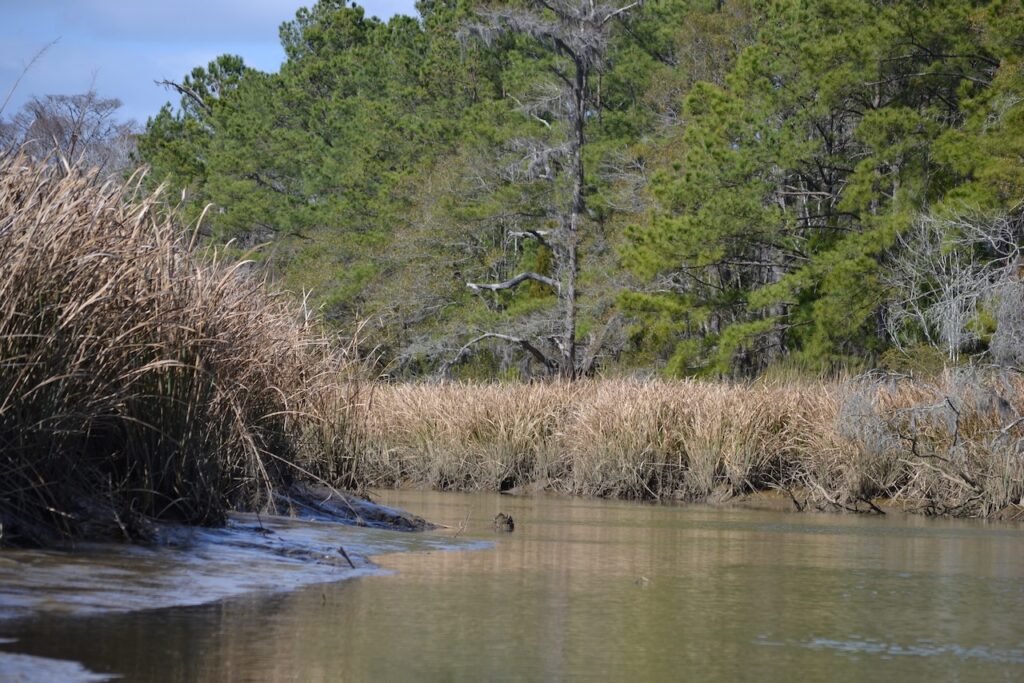
Hampton Creek had solid borders of the giant cutgrass, reaching well above my low profile in the water. The light west wind created a rustling/crackling sound of those grasses, at times more disturbed by the flight of red-winged blackbirds. The flow was less than on the South Santee but still required steady paddling for progress, a fact perhaps making the creek distance seem longer than my recollection. My course passed between the upland to port, and Hampton Island to starboard. Several large trees, pine and live oak, appeared on the mainland, and along here I spotted the white buildings of Hampton Plantation. Further on, the open canal draining the reserve at Wambaw Plantation emptied out into the creek.

Hampton Creek at low tide, 2012

At the confluence with Wambaw Creek, I observed a large turtle basking on a branch from a tree on Hampton Island, a fine sunny spot. Not wanting to disturb this reptile’s thermal needs, I paddled as quietly and far away as possible, and began retracing the course up Wambaw Creek. 

From several past canoe trips here, the views were familiar. The outgoing flow was still present but reduced, yet I maintained steady paddling and a course utilizing tangents between the curves of this serpentine creek. The watercourse was also a wildlife corridor, which I shared with ducks, a mammal crossing ahead (otter?) and other birds. Three pileated woodpeckers moved between the overhanging trees on one creek side to another. The call of a red-bellied wood pecker penetrated the locale. I was not alone in this swamp forest. 

Wambaw Bridge, 2012.

Around another curve the Wambaw bridge spanned the two banks, and a man and woman looked down at me. This Montreal couple were the first people seen since the bicyclist at the same place four hours ago. We chatted as I carefully exited the kayak, not wanting my kayak legs to betray me.

8 thoughts on “A bridge too far”

  1. NICE trip Bob… loved the remark about “kayak legs” as I’ve experience that sensation/ concern (re embarrassing myself) many times!

    1. I first heard it called canoe legs when I almost keeled over after some paddling, and stepping right out of the canoe. I wonder how aging impacts that sensation.

  2. Thanks for the journey and hope you have a wonderful holiday! Love the picture beside the fire and to know you didn’t fall off the roof getting that fireplace ready!

  3. Thanks Bob- as always I love being vicariously on the water with you- your words make it wonderfully vivid!

Comments are closed.

css.php